


3,5 km | 4,2 km-effort

Usuario


Aplicación GPS de excursión GRATIS
 SityTrail
IGN / Institutos geográficos
SityTrail World
El mundo es suyo
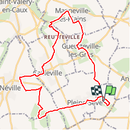
Ruta Senderismo de 18,9 km a descubrir en Normandía, Sena-Marítimo, Le Mesnil-Durdent. Esta ruta ha sido propuesta por tracegps.
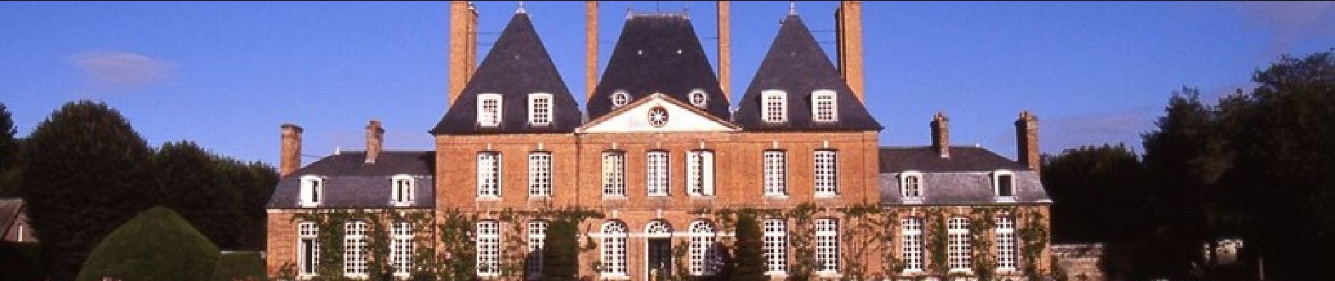
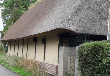
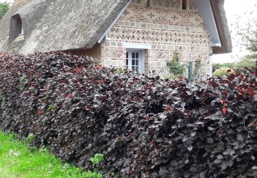
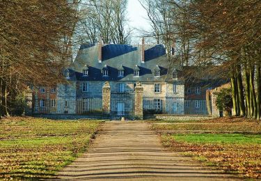
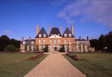
Jardin et parcours botanique sur la flore sauvage cauchoise du Mesnil-Durdent. Belles chaumières et château du Mesnil Geogffroy à proximité.


Senderismo

Senderismo
Senderismo

Otra actividad
Carrera

Senderismo
Otra actividad

Otra actividad
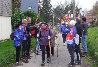
Senderismo